
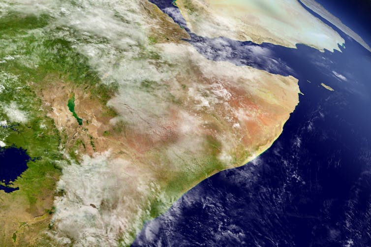
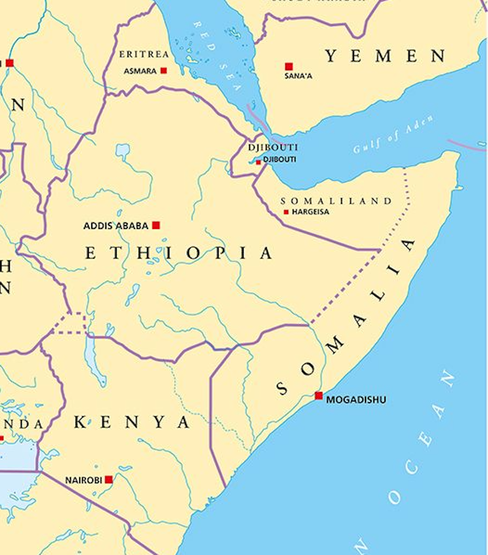
The Horn of Africa – which includes Somalia, Ethiopia, Kenya and some surrounding countries – has been hit by increasingly frequent and devastating droughts. Despite this, it seems the region has an increasing amount of groundwater. And this water could help support drought-stricken rural communities.
That’s the key finding from our new research, in which we discovered that while overall rainfall is decreasing, an increase in “high-intensity” rainfall has led to more water being stored deep underground. It’s a paradoxical finding, yet one that may help one of the world’s most vulnerable regions adapt to climate change.
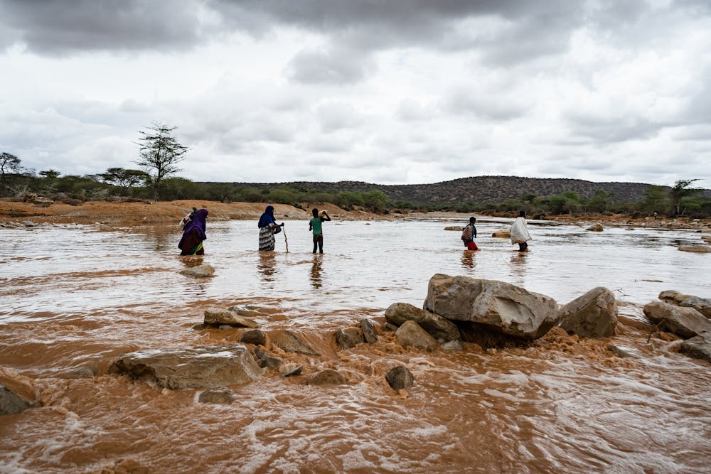
In the Horn of Africa, rural communities live in a constant state of water scarcity punctuated by frequent periods of food insecurity. People there rely on the “long rains” between March and May and the “short rains” between October and December to support their lives and livelihoods.
As we write this, the region’s drylands are experiencing a fifth consecutive season of below-average rainfall. This has left 50 million people in acute food insecurity. The droughts have caused water shortages, livestock deaths, crop failures, conflict and even mental health challenges.
The drought is so severe that it is even affecting zebras, giraffes and other wildlife, as all surface waters are drying up and edible vegetation is becoming scarce. Worryingly, a sixth failed rainy season has already been predicted for March to May 2023.
Long rains down, short rains up
In a new paper we investigated changes in seasonal rainfall in the Horn of Africa over the past 30 years. We found the total rainfall within the “long rains” season is declining, perhaps related to the warming of a particular part of the Pacific Ocean. However, rainfall is increasing in the “short rains”. That’s largely due to a climate phenomenon known as the Indian Ocean Dipole, when a warmer-than-usual Indian Ocean produces higher rainfall in east Africa, similar to El Niño in the Pacific.
We then investigated what these rainfall trends mean for water stored below ground. Has it decreased in line with declining “long rains”, or risen due to the increasing “short rains”?
To do this we made use of a pair of satellites which orbit repeatedly and detect small changes in the Earth’s gravitational field that can be interpreted as changes in the mass of water storage. If there’s a significant increase in water storage underground, then the satellite will record a stronger gravity field at that location compared to the previous measurement, and vice versa. From this, the mass of water added or lost in that location can be determined.
Using these satellite-derived estimates, we found that water storage has been increasing in recent decades. The increase correlates with the increasing “short rains”, and has happened despite the “long rains” getting drier.
Given that the long rains deliver more seasonal rain than the short rains, we wanted to understand the paradoxical finding that underground water is increasing. A clue is given by examining how rainfall is converted into groundwater in drylands.
When rain is light and drizzly, much of the water that reaches the ground dampens the soil surface and soon evaporates back into the warm, dry atmosphere. To become groundwater, rainfall instead needs to be intense enough so that water will quickly infiltrate deep into the soil. This mostly happens when lots of rain falls at once and causes dry riverbeds to fill with water which can then leak into underground aquifers.
These most intense rainfall events are increasing in the “short rains”, in line with the overall increase in total rain in that season. And despite a decrease in overall rainfall in the “long rains”, intense rainfall has remained consistently high over time. This means that both rainy seasons have enough intense rainfall to increase the amount of water stored underground.
Finally, we demonstrated that the increasing water storage in this region is not connected to any rise in soil moisture near the surface. It therefore represents “banked” water that resides deep below ground and likely contributes to a growing regional groundwater aquifer in this region.
Groundwater can help people adapt to climate change
While early warning networks and humanitarian organisations focus on the urgent impacts of drought, our new research points to a silver lining that may support long-term climate adaptation. Those rising groundwater supplies we have identified may potentially be exploited to support people in rural areas whose food and water are increasingly insecure.
But there are some caveats. First, we have not assessed the depth of the available groundwater across the region, but we suggest that the water table is shallow enough to be affected by seasonal rainfall. This means it may also be shallow enough to support new bore holes to extract it. Second, we do not know anything about the quality of the stored groundwater and whether it can be deemed suitable for drinking. Finally, we do not know exactly what will happen if the most extreme droughts of the past few seasons continue and both long and short rains fail, causing intense rainfall to decrease too.
Nevertheless, our findings point to the need for extensive groundwater surveys across the Horn of Africa drylands to ascertain whether this increasing water resource may be viable enough to offset the devastating droughts. Groundwater could potentially irrigate fields and provide drinking water for humans and livestock, as part of a strategy to help this vulnerable region adapt to the effects of climate change.![]()
------------------------
This blog was written by Cabot Institute for the Environment member Katerina Michaelides, Associate Professor, School of Geographical Sciences, University of Bristol; Michael Singer, Professor in Physical Geography (Hydrology and Geomorphology), Cardiff University; and Markus Adloff, PostDoctoral Researcher, Earth System Modelling, Université de Berne. This article is republished from The Conversation under a Creative Commons license. Read the original article.